Registry


![]()
DroneDB Registry is a comprehensive geospatial data management and storage platform. It provides JWT authentication, a full REST API, and STAC compliance for interoperability.
Try it Online
You can try the online hosted version of Registry (DroneDB Hub) at dronedb.app/plans with a 30-day free trial on every plan – no commitment, cancel anytime!
Features
- Dataset Management: Create, organize, and share datasets with fine-grained permissions
- Interactive Visualization: View orthophotos, point clouds, 3D models (OBJ, GLTF, GLB), Gaussian Splats, and panoramas directly in the browser
- User Management: Built-in user administration with role-based access control
- STAC Compliance: Standard SpatioTemporal Asset Catalog API for interoperability
- Public & Private Datasets: Flexible visibility controls for your data
- Measurements: Interactive measurement tools on maps
- Import/Export: Transfer datasets between Registry instances
- On-Demand Processing: Automatic thumbnail, tile, and streaming format generation
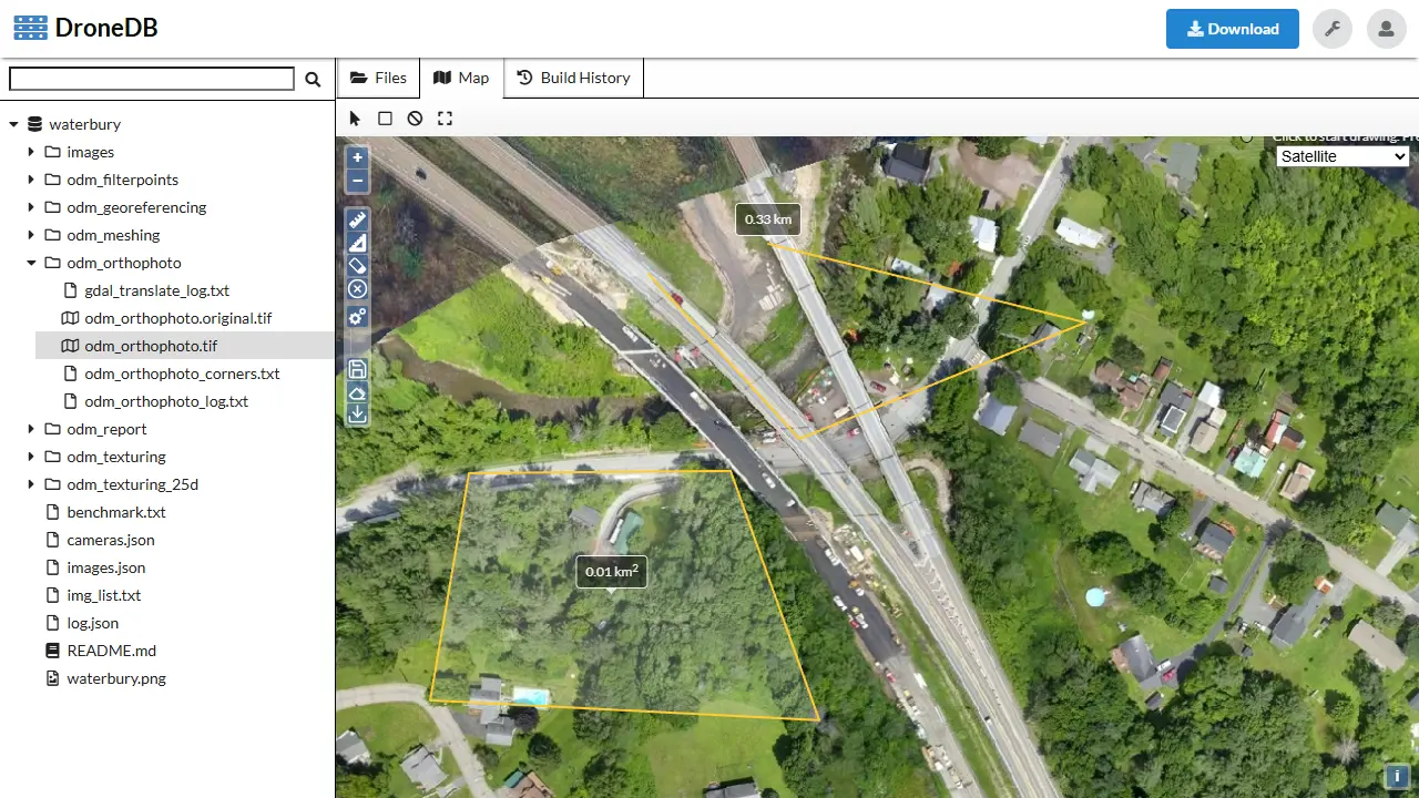
Orthophoto Measurements
Interactive measurement tools on orthophotos:
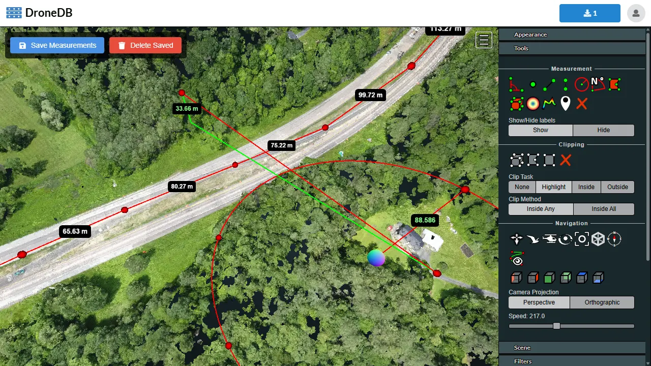
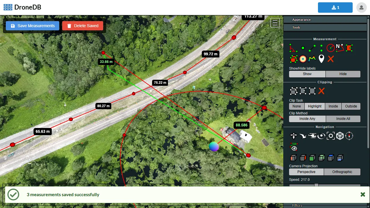
Point Cloud Measurements
Measure distances and areas directly on point clouds:
Live Examples
Supported Formats
| Category | Formats |
|---|---|
| Images | JPG, JPEG, DNG, TIF, TIFF, PNG, GIF, WEBP |
| Point Clouds | LAS, LAZ, E57, PTS, XYZ, PLY* |
| 3D Models | OBJ, GLTF, GLB, PLY* |
| Gaussian Splats | PLY*, SPLAT, SPZ |
| Rasters | GeoTIFF (orthophotos, DEMs) |
| Vector Data | GeoJSON, SHP, SHZ, KML, KMZ, DXF, DWG, FGB, TopoJSON, GPKG |
| Panoramas | 360° images (aspect ratio ≥ 2:1) with optional GPS |
| Videos | MP4, MOV, WEBM, M4V, AVI, MKV |
| Other | Markdown, PDF |
note
*PLY files are automatically classified as point clouds, 3D models, or Gaussian Splats based on their content.
Getting Help
Commercial support is available. Get in touch.