Overview
Discover DroneDB in less than 2 minutes.
What is DroneDB
A comprehensive set of tools to inspect, manage, and share geospatial data. DroneDB provides a complete solution for organizing and distributing images, orthophotos, digital elevation models, point clouds, 3D models, and vector files.

For image processing and photogrammetry, we recommend WebODM. DroneDB excels at managing and sharing the resulting data.
Core Components
DroneDB consists of three main components:
| Component | Description |
|---|---|
| DroneDB Core | C++ library providing geospatial data management, indexing, and processing |
| DroneDB Desktop | Desktop application for browsing and sharing geospatial data |
| DroneDB Registry | Web-based platform for hosting, managing and sharing datasets |
Key Features
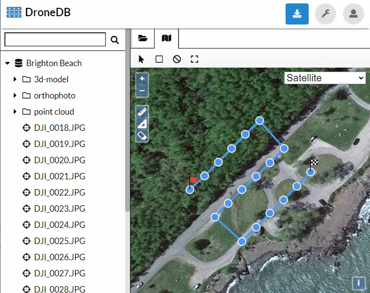
Data Inspection
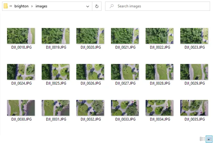
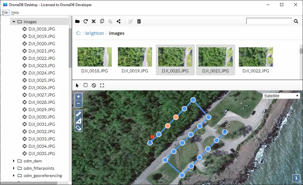
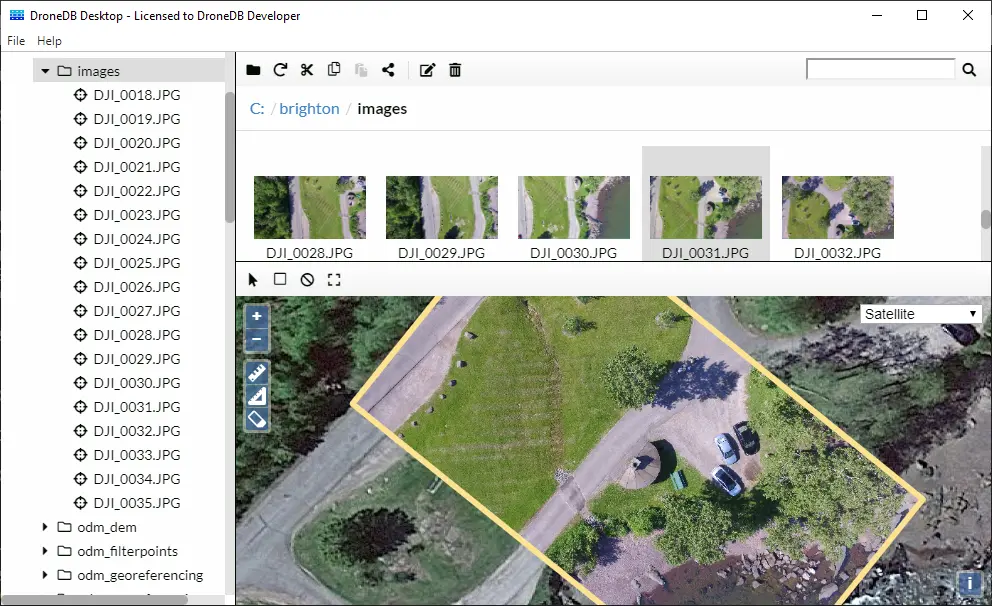
You have some geospatial data. But is your data good?
- Are the images georeferenced correctly (or at all)?
- Did you miss to capture an image (or an entire section)?
Difficult to say from a file browser
DroneDB Desktop provides rich context and visualization:
Data Sharing
DroneDB supports a wide range of geospatial data formats:
| Category | Supported Formats |
|---|---|
| Images | JPG, JPEG, DNG, TIF, TIFF, PNG, GIF, WEBP |
| Multispectral / Thermal | Multi-band GeoTIFF, FLIR R-JPEG, thermal GeoTIFF |
| Videos | MP4, MOV |
| Point Clouds | LAS, LAZ, E57, PTS, XYZ, PLY* |
| 3D Models | OBJ, GLTF, GLB, PLY* |
| Vector Data | GeoJSON, DXF, DWG, SHP, SHZ, FGB, TopoJSON, KML, KMZ, GPKG |
| Other | Markdown, PDF, and more |
*PLY files are automatically classified as point clouds or 3D models based on their content.
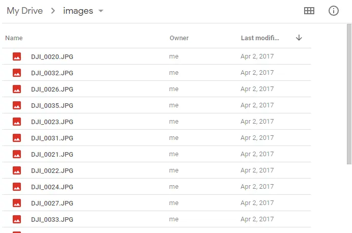
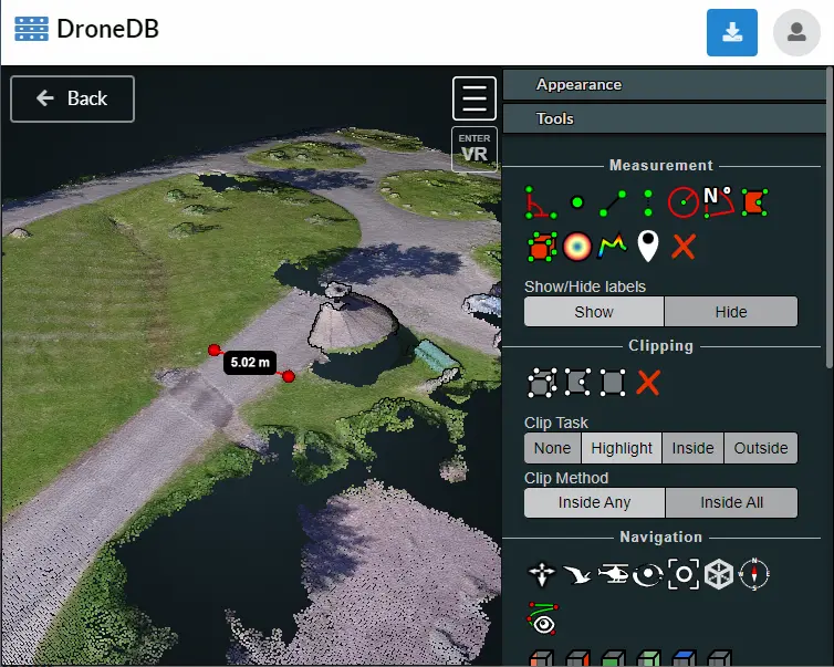
Traditional cloud storage like Google Drive or Dropbox doesn't let you interact with geospatial data:
DroneDB Hub is interactive; you can view images, point clouds, textured models, panoramas all in one place with measurements tools, STAC support, and more:
Key Capabilities
- Automatic Metadata Extraction: EXIF, sensor data, GPS coordinates
- Spatial Indexing: SQLite with SpatiaLite extensions
- On-Demand Processing: Dynamic tiling, thumbnails, EPT generation
- 3D Streaming: Nexus format for efficient mesh streaming
- STAC Compliance: Standard catalog format for interoperability
- Public & Private Datasets: Flexible visibility controls
Entry Types
DroneDB automatically classifies files into the following types based on their content and metadata:
| Type | Description |
|---|---|
| Image | Standard images (JPG, PNG, etc.) without GPS data |
| GeoImage | Georeferenced images with GPS coordinates |
| Panorama | Wide-angle images (aspect ratio ≥ 2:1) |
| GeoPanorama | Panoramas with GPS coordinates |
| Video | Standard video files |
| GeoVideo | Videos with embedded GPS data |
| GeoRaster | Georeferenced rasters (orthophotos, DEMs) |
| PointCloud | Point cloud files (LAS, LAZ, E57, PTS, XYZ, non-mesh PLY) |
| Model | 3D models (OBJ, GLTF, GLB, mesh PLY) |
| Vector | Vector data (GeoJSON, SHP, KML, etc.) |
| Markdown | Documentation files |
Get Started
- Install DroneDB Desktop
- Register an account on Hub (it's free)
Advanced Users
- Self-host your own instance with Registry
- Install the command line tool